A clear start.
Everyone arrived kitted out in full warm waterproof attire after yesterday’s dreich offerings, but it wasn’t long before the layers were being peeled off!
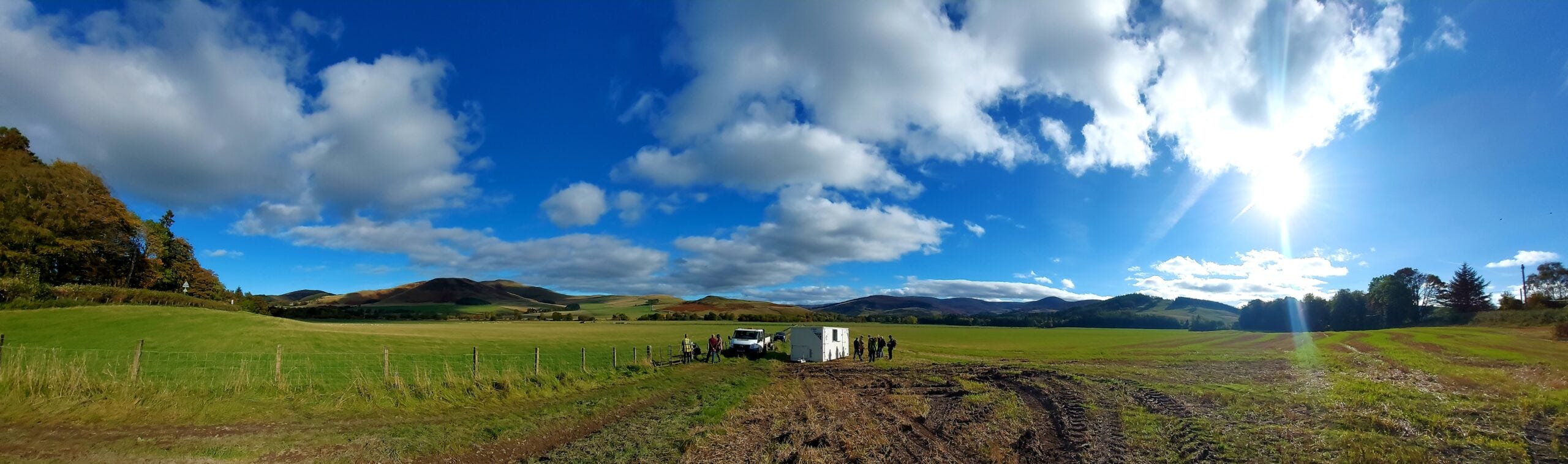
Our first task of the day was to plot the excavation sites in both the east and west fields. The square crop mark in the east field is designated Trench 4, and is first up for investigation this week. One of the circular crop marks in the west field is designated Trench 5 and is being investigated in the second week.

We found out that the geophysics surveys that were done in the east field later yesterday did not show the crop marks that were on the original aerial photo, which was puzzling considering the results in the west field were so clear. (see our day 1 blog).
However, Tamsin and Lauren from GUARD Archaeology rounded up all the volunteers and demonstrated how to use the GPS equipment, from inputting the co-ordinates to then finding the corners of the sites, and planting rods in place. The GPS data from the aerial photo was used to plot the two sites for investigation, with the geophysics survey results for the west field helping pinpoint the location of Trench 5.
See GPS video below:
The photo below shows the rods planted in place (highlighted in red), so it was time for Ian and Enid (our local friendly metal detectorists!) to step in.
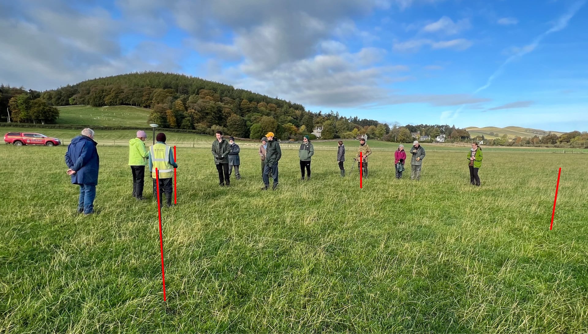
Ian demonstrated the workings of the equipment, and explained what they are going to do today. (see video below)
They will scan the excavation site before digging starts, to see if there is any metal in the area. Any points of interest would be tagged, to find out where they are in relation to the overall site.
Some of the volunteers had a try, and before long, many red flags were planted in the ground to be investigated. What did they find? Well before we can tell you, it’s over to Tamsin to start the breaking of the ground!
The video below shows this process. The turf needs to be replaced after the dig is over, so it is carefully removed and put to one side, with the spoil (earth and small stones) being laid on a tarpaulin. Digging a mini-trench around each of the red flags allowed Ian and Enid to uncover the metal items. Then two of these mini-trenches were dug further down to find out the depth of the topsoil – which was found to be 30 cm in both Trench 4 and 5.
This depth measurement would be used when the digger came in, to remove a layer mechanically, before the volunteers began hoeing out the site by hand.
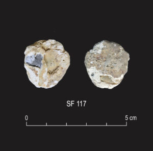
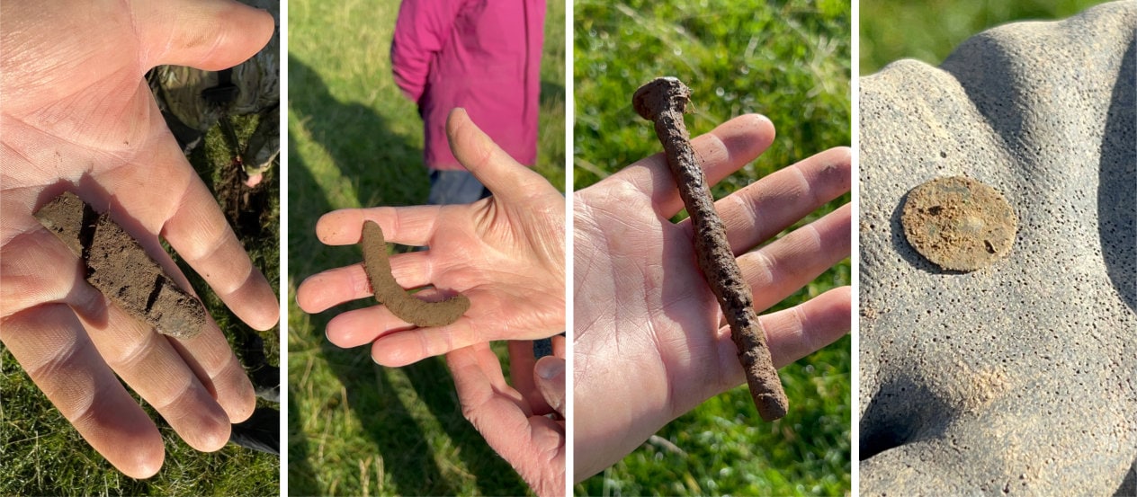
So what items were found? Nothing of great significance: A broken pocket knife, part of a clog heel, a large iron nail and probably a button.
After lunch, we gathered back at the west field as the digger was removing turf and a thin layer of topsoil from Trench 4. Tamsin instructed Rob in using the Leica – a GPS plotter to refine the position gained through the geophysics surveys yesterday – to gain the most accurate location possible.
The results were not too far off the markings from the previous aerial data.

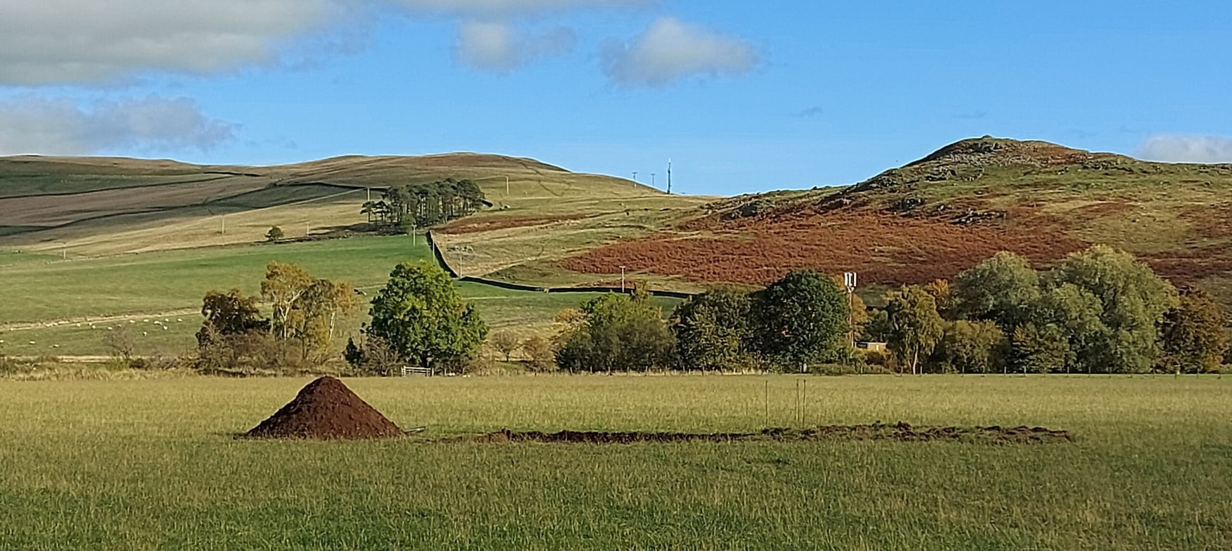
Once the digger finished digging Trench 4, we moved back – note the neat little spoil heap…
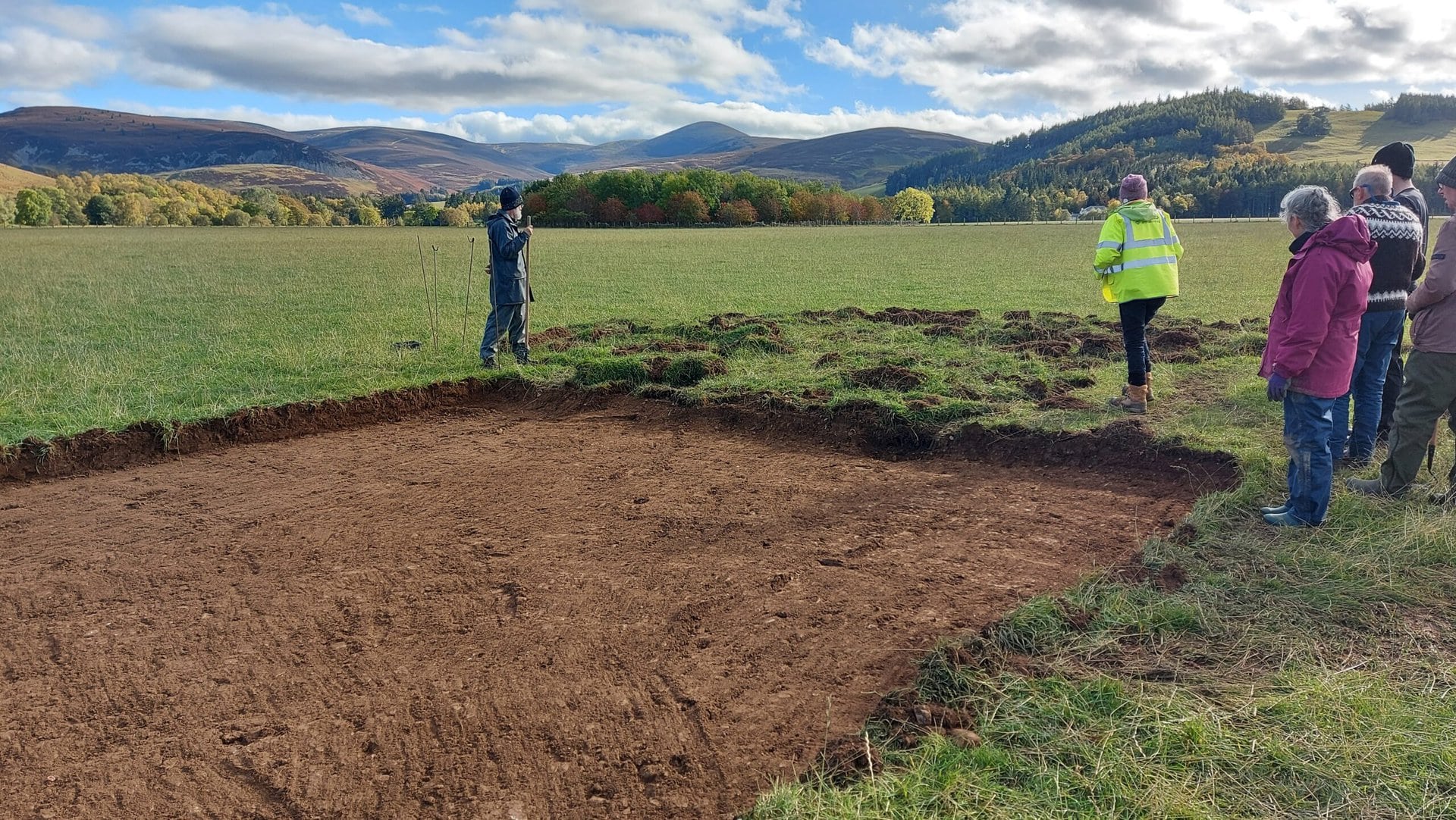
Our first view of Trench 4 – the top soil revealed (with not too much removed so as not to lose any information):
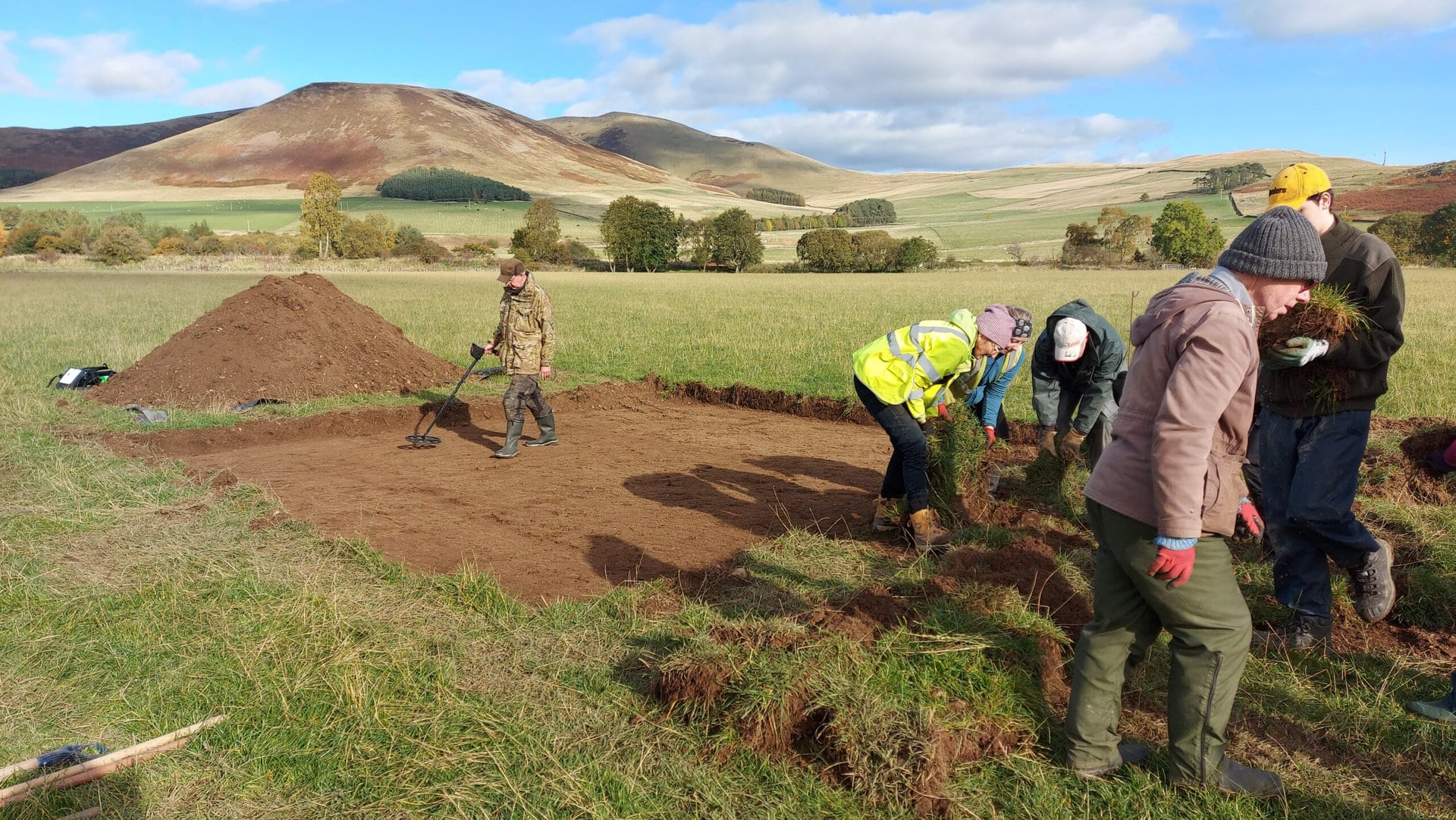
Whilst Ian went over Trench 4 with his metal detector, while we stacked the turf – “grass to grass and soil to soil“ – a simple yet effective method to ensure the turf did not get dirty. This was heavy work but heavier was to come.
Hoeing! and slew of jokes… High-hoe; hoe-me is where the heart is; hoe-cus pocus!

We were aiming to work our way through the topsoil to the subsoil. Working methodically in a line(ish) from one end of the trench to the other. And once we reached the end, it was back to the start again! It took possibly 4 passes before it was time to pack up for the day, just as the sun was lowering and shadows lengthening.
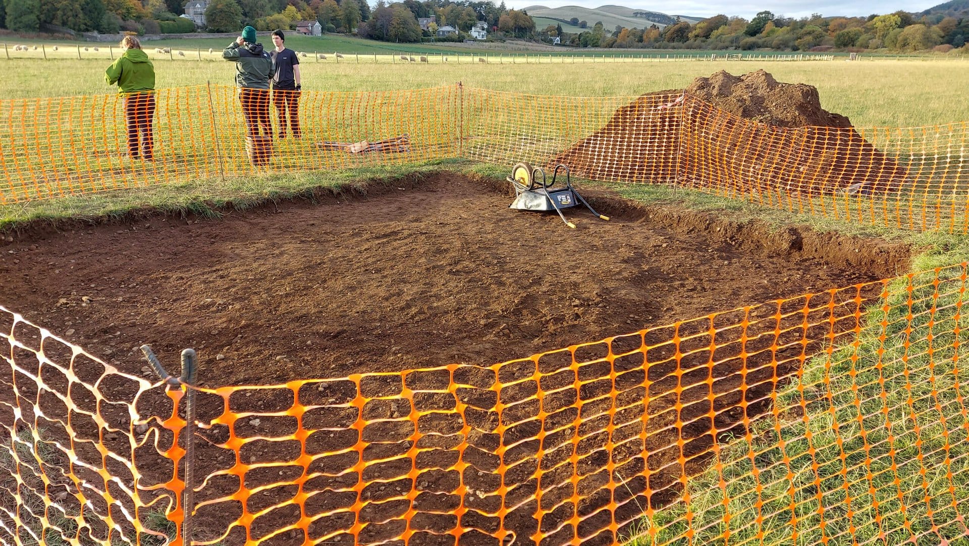
By the time the sun started to go down, the size of the spoil heap had doubled.

“What a beautiful place!”
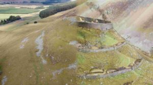
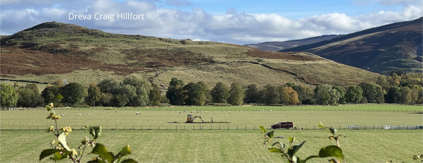
One volunteer climbed up to the nearby Iron Age hillfort on Dreva Craig with its spectacular view towards the excavations. Was this the view from which the local resident originally spotted the crop marks back in 2018?
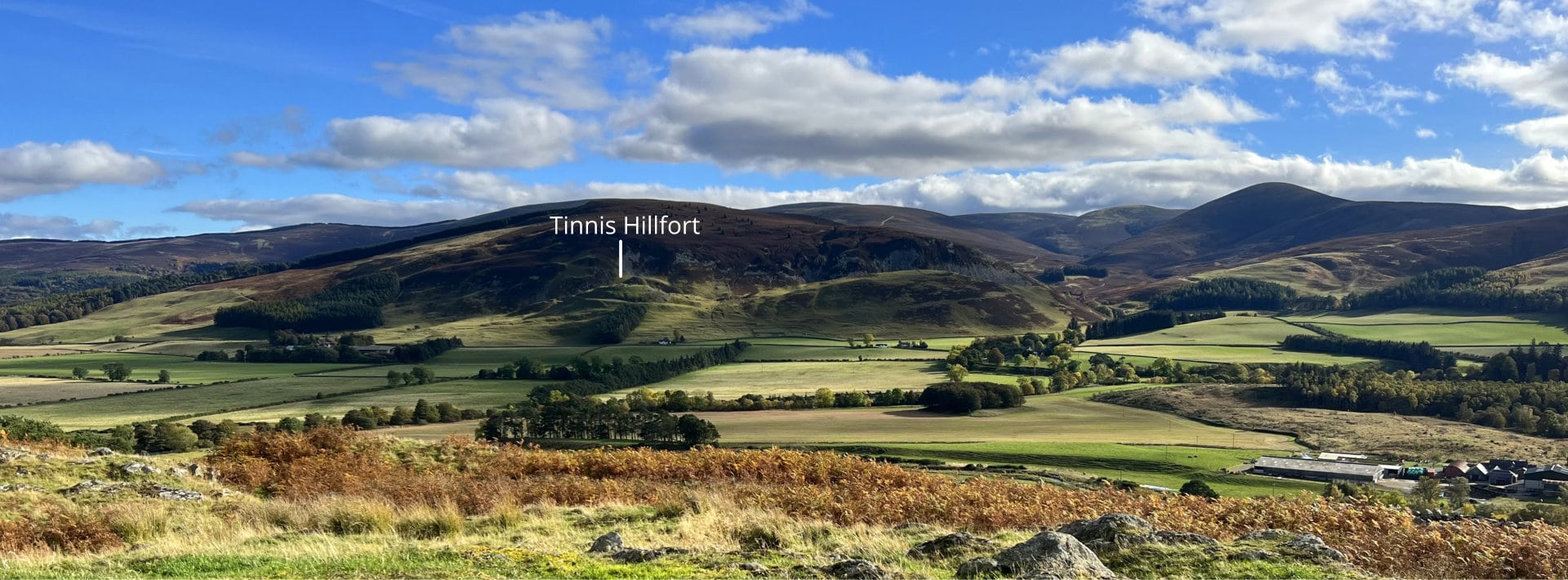
Now looking east towards Tinnis which had been a half hour climb every day in August, but from here looks like a small pimple….
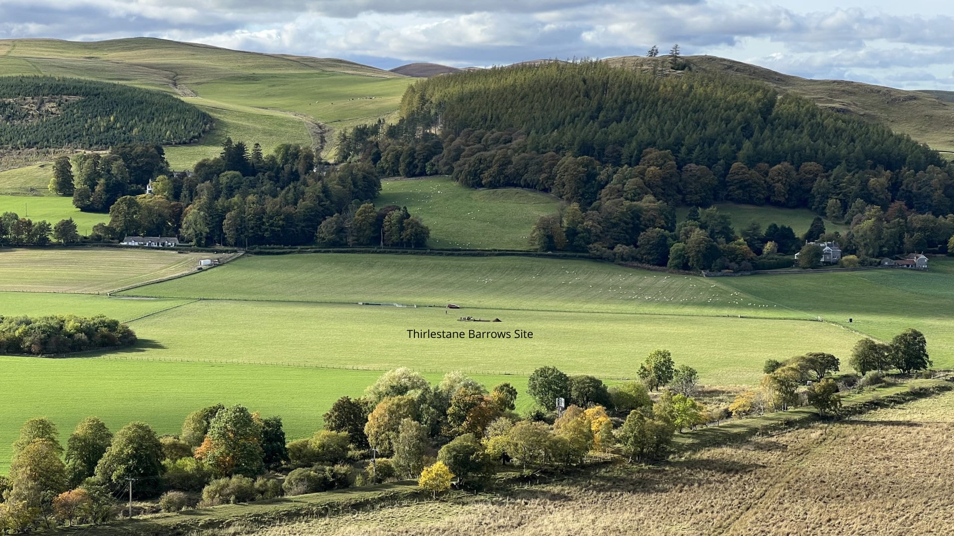
…and looking westwards down on to the Thirlestane Barrows site where only the lone figure of Ronan remained, still supervising the digger. This really is a timeless landscape.
We were definitely blessed with the weather today, but agreed we would dress for all permutations of Scottish weather for Day 3 at Thirlestane Barrows…