


Back for our second archaeological dig with GUARD Archaeology, here at Thirlestane Barrows – fields we’d seen from our first dig at Tinnis Hill Fort!
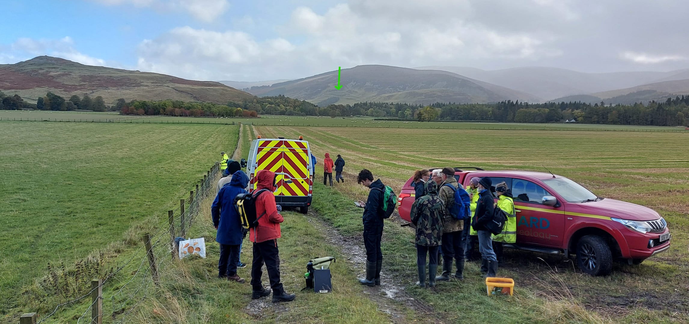
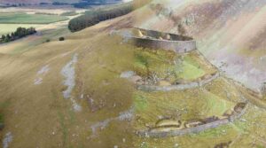
This time we look back towards Tinnis (see picture below).
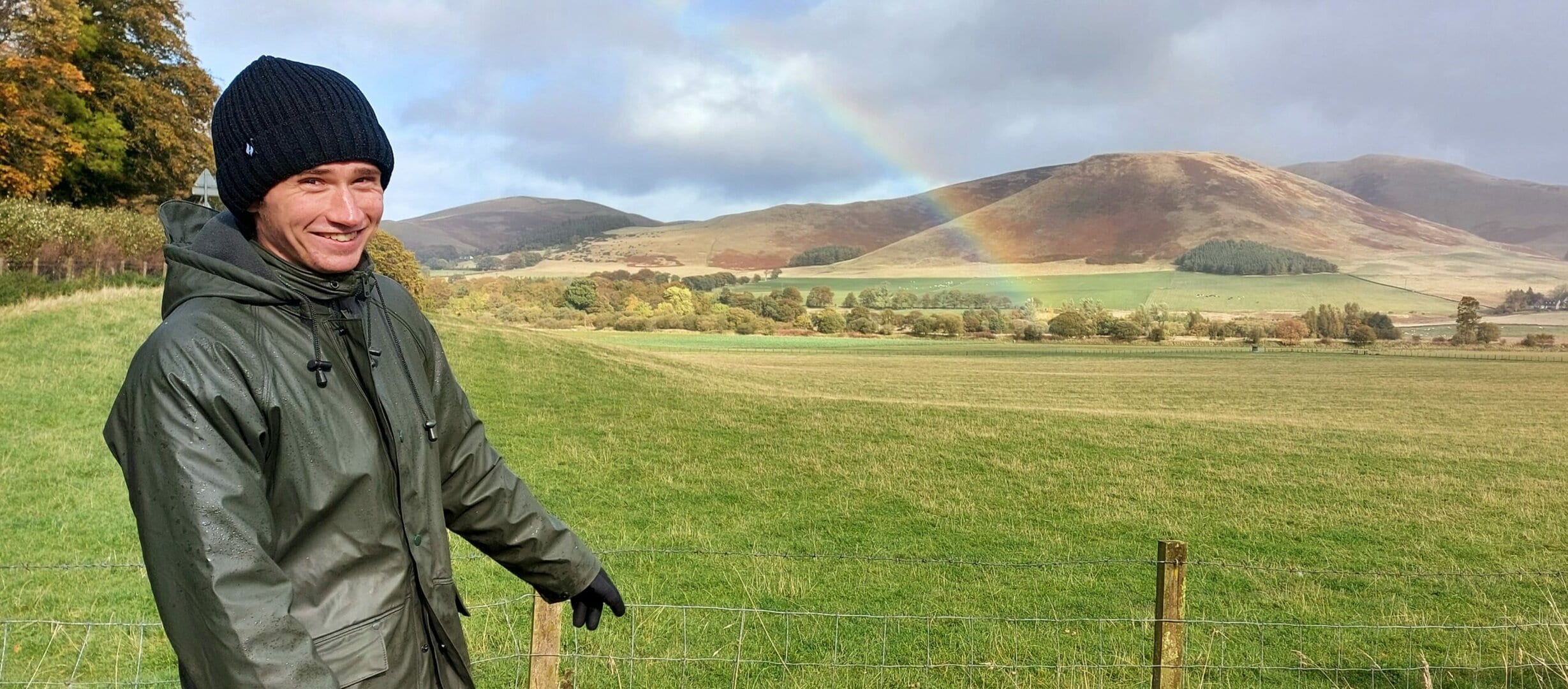
A little further to the right and the rainbow would have perfectly marked our new site.
Back in the dry summer of 2018, a local person (we now know was James Gordon!) spotted some unusual features in the fields, which led to Historic Environment Scotland taking some aerial photos. These showed some interesting crop marks – could dates match up with those at Tinnis?
Crop Marks
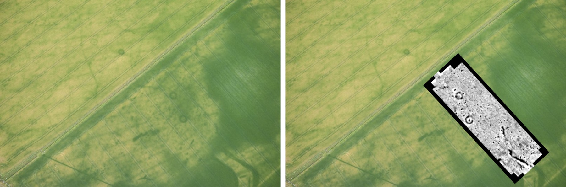
Crop marks are usually only visible from the air. The vegetation is different from the surroundings. In the aerial photo (below) you can see some darker circles. These are visible because the surrounding grass is parched by the dry conditions and is lighter in colour. These show where the soil is deeper – e.g. where a ditch has been dug. This deeper soil retains moisture, and so the vegetation is more lush.
Conversely, some crop marks show where buildings, stone paths or walls are beneath the surface, creating shallower areas where in dry conditions, the vegetation looks scorched compared to the surrounding greenery. There is a rectangular crop mark in this aerial photo (shown with arrow)
North of the Forth half a dozen such sites have been investigated in Fife and Aberdeenshire and are assumed to be Pictish of the Early Mediaeval period. But south of the Forth this is unusual and nothing like this has so far been excavated.

Aerial shots sometimes only show part of the picture. So we brought in the geophysics team to reveal more.
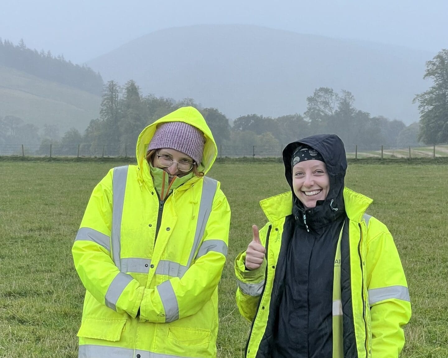
Tamsin (left) is GUARD Excavation Leader, with Lauren (right) rejoining us from the Tinnis dig. Lauren is an osteoarchaeologist – a specialist in human bones!
Magnitude Surveys came from Bradford with their specialised equipment and expertise. Their instruments are bespoke in design and handmade using only non-metal components. Volunteers who wanted to operate the affectionately named ‘Jetpack’ were asked to wear nothing metal which might interfere with the readings.

There are several methods of creating images through geophysics. Due to the nature of this site, it was decided that a magnetic survey would be best. Magnitude Surveys explain that the technique of magnetometry,
“Measures the ambient magnetic field strength. Effective for detecting features with magnetic contrast from the surrounding soilsuch as burnt features, pits and ditches…”
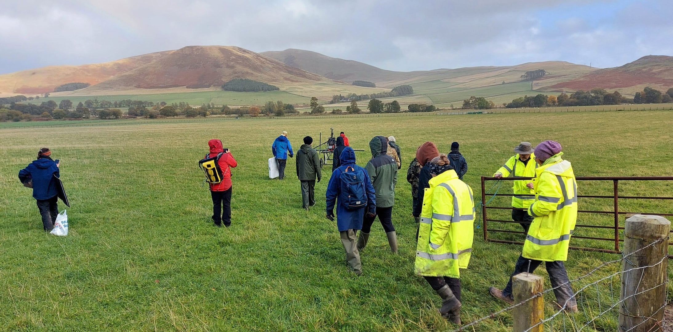
After a bit of fine-tuning, and a wheel change (to a lighter design) we were ready to go, marching through the drizzle into the west field.
Isabella explained that the magnitude signal picks up disturbances in the ground – and that an ‘anomaly’ is anything that stands out from the geological background – both positive (walls, stone buildings in which radar is a better kind of survey) and negative. Whilst the magnetic data can’t determine the depth of the anomaly, it will survey between 1 and 2 metres beneath the surface.
She also demonstrated the tub she uses to teach children about the process of how soils can become ‘magnetically enhanced’, making features hidden underground visible using magnetometry.
As the weather deteriorated, Charlie and Rob both had a turn using Jetpack.

It was important that there was as little (metallic) interference as possible, so everyone stood back and watched from a distance:
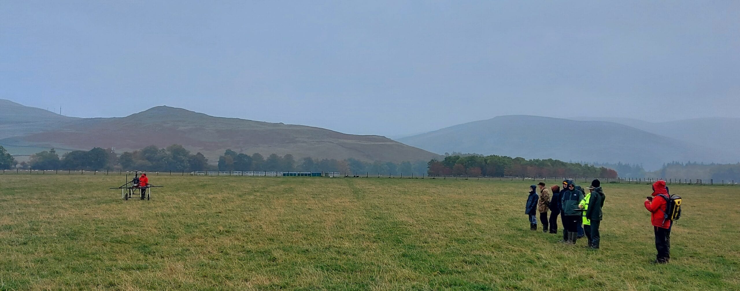
Sam returned from his turn reporting that it is really difficult walking in a straight line – and both Rob and Charlie agreed! Jane joins them in the video below:
When walking, holding onto Jetpack, instead of looking at something in front of you, you must look down to follow a line on the small screen attached to the equipment. This rewards you with 2 green arrows if you are ‘on course’, and lets you know with a yellow arrow which way to realign yourself. There is a short lag between this screen and Jetpack, so it is easy to over compensate and create a yellow arrow pointing in the other direction!
If you activate the red arrow, accompanied by beeping – you have gone completely off track! It reminded us a bit of the ‘buzz’ game (played with a steady hand manoeuvring a metal hoop around a charged metal meandering loop!) We suggested if Jetpack was set up to give you a wee ‘shock’ every time you went off-piste, you’d learn how to keep it straight pretty sharpish!
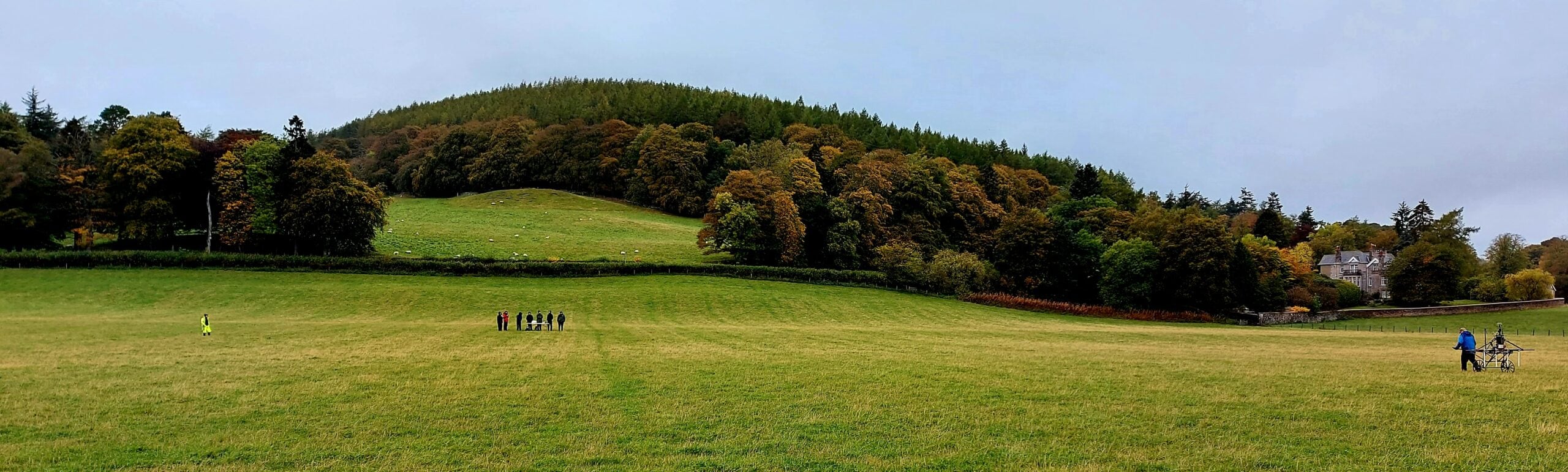
All data is sent through Wi-Fi, live, to the team – both on site and back at the Bradford Office. The photo below shows our lines of travel, covering the area surveyed. You can see the ‘interesting’ routes taken by we volunteers, sandwiched between those taken by Magnitude pros Alex and Dan!
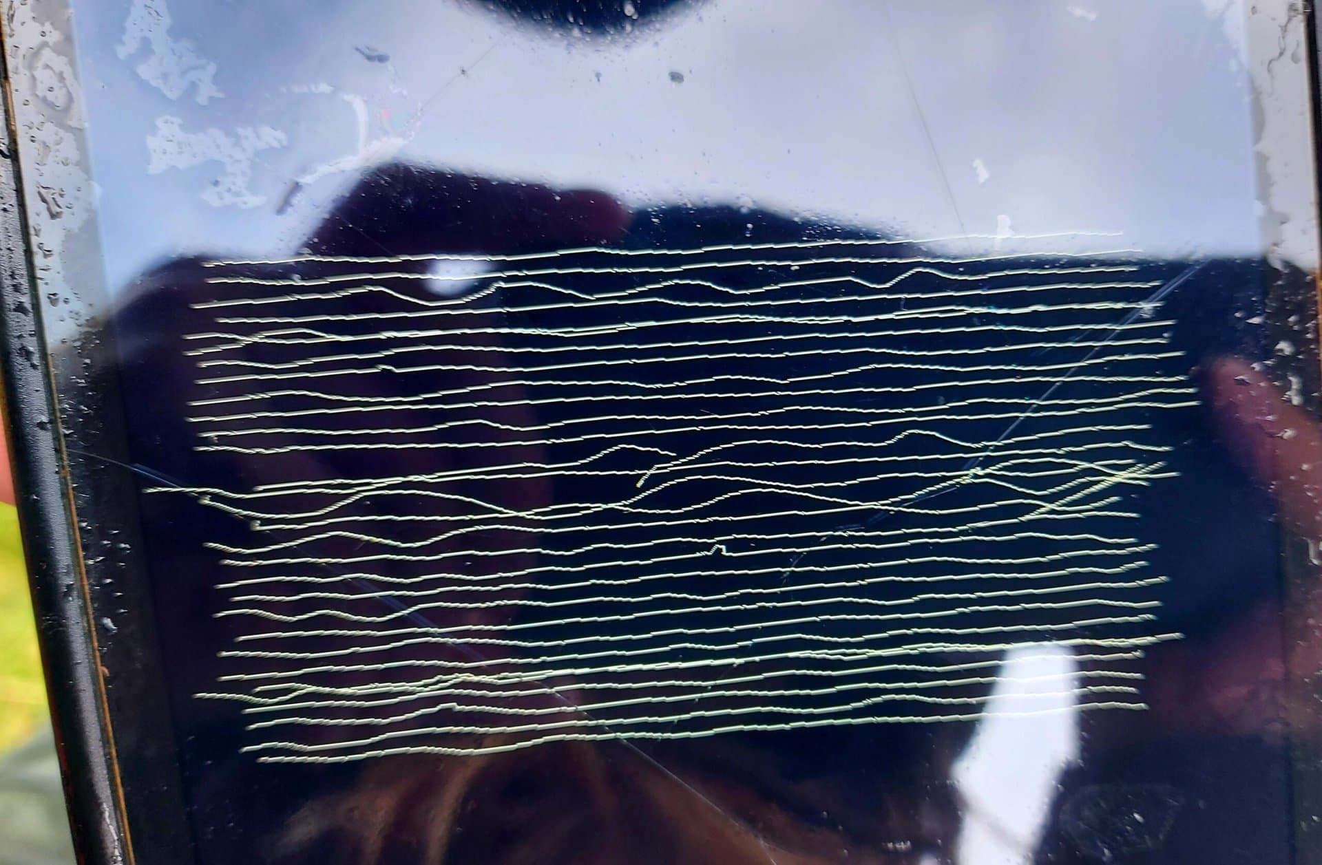
[Left, below:] Dan showed us the very first image of the survey on the tablet as it began to build up – prior to calibration. On the right are Sam, Rob and Charlie, our non-metallic volunteers who helped with the survey.

Jetpack needs to be calibrated occasionally, similarly to a drone. This involved turning round several times, holding the equipment at various angles, as you can see below in the video:
This is a view of the output before calibration, it’s possible to see what may be a round mark on the right, but there is a lot of noise in the image:
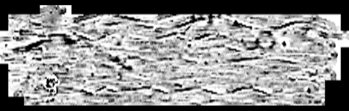
Once the calibration was done, the data was pulled from Jetpack once more, and the difference is clear. Unwanted artifacts are no longer showing, leaving an unmistakable view of two of the round crop marks in the west field. We found it fascinating to see the results of the passes over the field come up on screen so quickly.
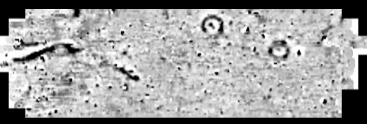
This corresponds with the aerial view from 2018 that started it all off, overlaid here. The round crop marks here could be 5 metres in diameter.
Robin arrived at exactly the right time in the afternoon, to be shown the results from a visibly excited Isabella.
These results from Magnitude Surveys will help the GUARD Archaeology team pinpoint where to start digging.
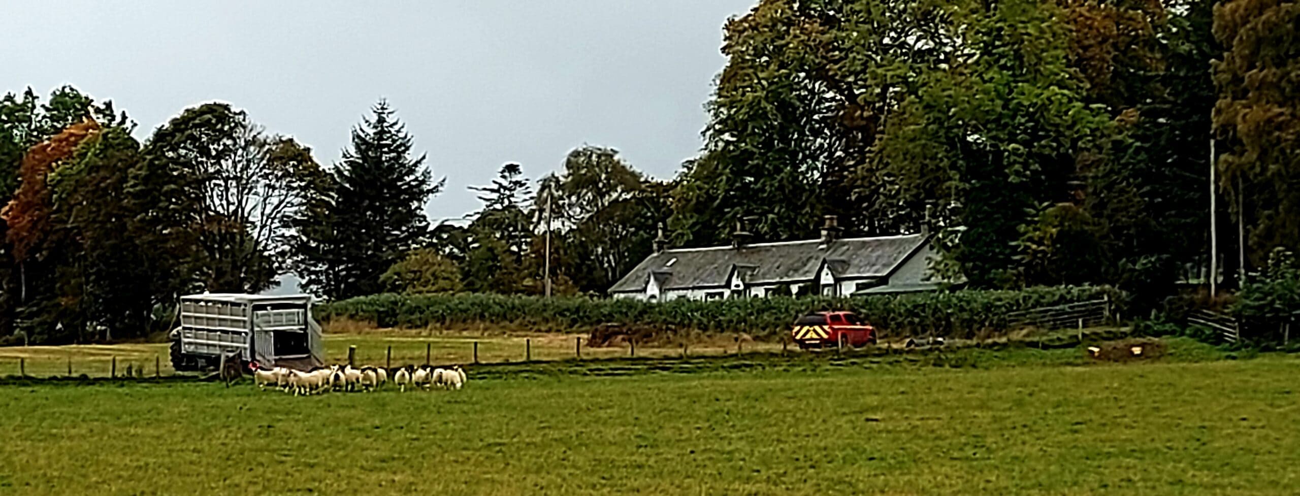
As the day ended, we were joined by a flock of sheep to keep us company in the coming weeks.
For some additional, background info, have a read of the Thirlestane Barrows article – An Early medieval Barrow Cemetery
What will Day Two bring? We have some trepidation about the weather…




2 Responses
Love the sound tracks!!
Wait til you hear Day Three then….