A lovely dry day to balance everything out!

We all arrived eager to get started. Charlie was given the task of recording the ditches and tree bowl, requiring focus and accuracy [above and below]


Charlie’s drawing showing the section of the ditch. The ‘height’ of each feature or change is recorded with a dot – each square on the paper representing a 10cm span on the ground.

After cleaning all buckets and tools (to avoid any cross contamination) volunteers cleaned the graves and collected more soil samples.

The farmer, Jim, visited with a keen interest to find out what was happening in the trench.
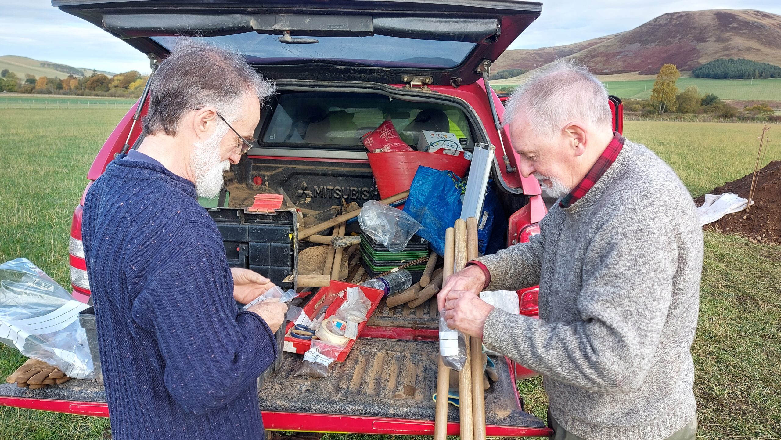
Lex and Neil seal the soil sample bags.

Elliot and Charlie working to record the tree bowl – a particularly complex task. As a natural occurrence, the section is irregular.
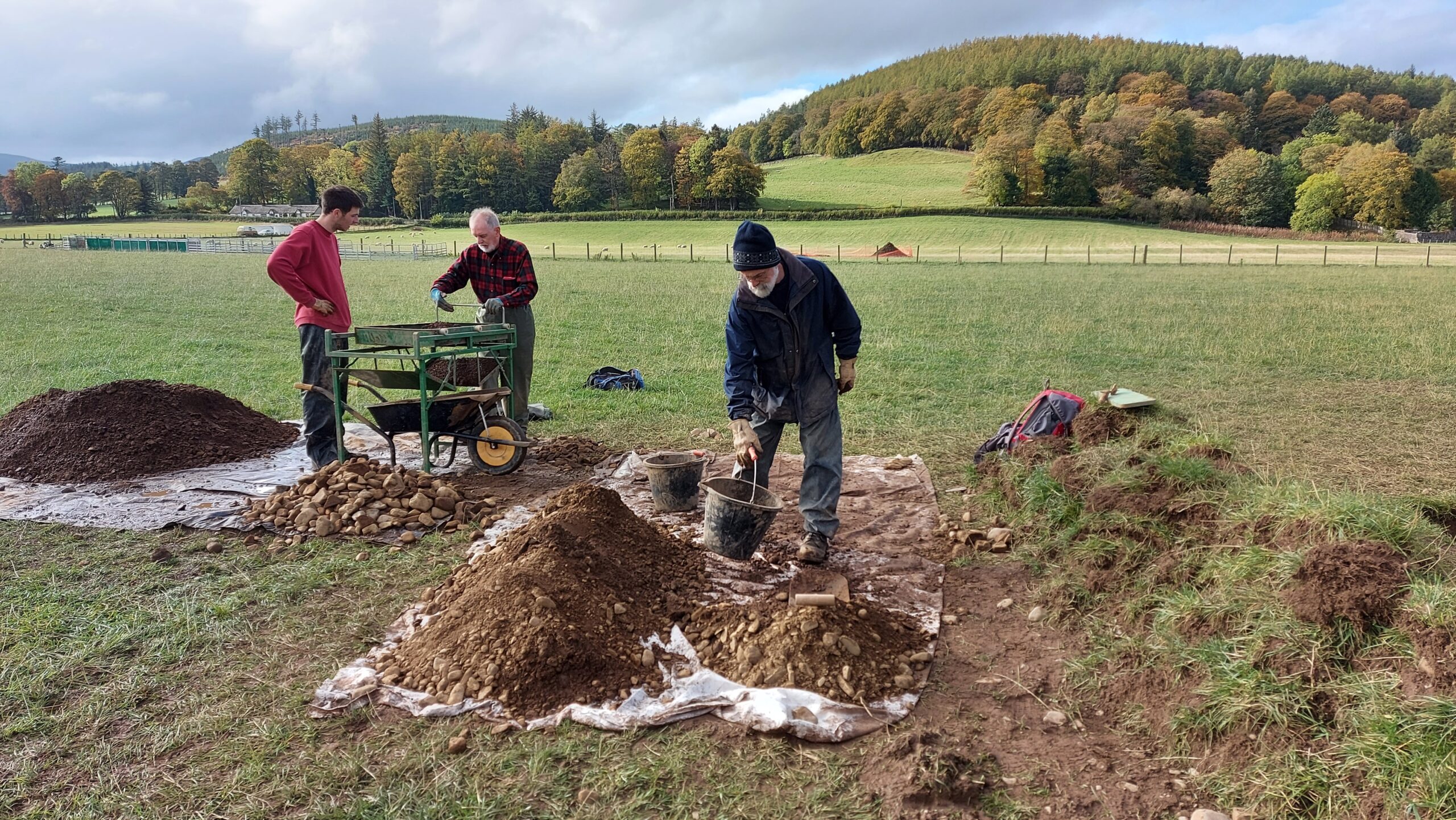
The “shoogler” was pressed into service again today – it is important to keep the soil from different features separate when sieving for any possible artifacts, so the location they came from can be noted. Shoogling proved more effective than yesterday, with the appreciably drier fill coming out of the two graves today.
Cameron found that giving it a “little welly” meant we could keep up with the buckets rapidly coming from the team at the grave sites. The material was still fairly muddy from yesterday’s rain, but we had up to four pairs of eyes looking for anything interesting to be wiped off and checked.

There was actually a time, post clean up, when we had to wait for a cloud to come over the sun! Shadows aren’t favourable in archaeological photographs.

Elliot described recording of the ditch corner as “almost pleasant” compared to the tree bowl!

We had a chat with Lauren about the orientation of the graves. They are lined up east to west. The purpose of lining them up this way is supposedly so that those buried in them will “rise to meet the sun on the Day of Judgement.” If these are early Christian graves, this could fit in with the expected time period of the trench.

Now that the site is showing these features clearly, we remember during the start of the week when the features were beginning to show after the topsoil was removed and the site was carefully hoed.
It requires a careful and practiced eye to spot features in the ground. Lauren explained that the ditch area showed up as a lighter yellow soil, with the areas surrounding it darker. Then by using this ditch placement, it gives a very general indication of where the graves were likely to be. Two oval shapes in a lighter more yellow colour became evident, surrounded by the darker ‘natural’ area.
The graves were expanded to the cut – the outer ‘line’ where the grave met the natural soil. This was noted by a change in soil composition and colour – quite subtle to those of us with less experience! By trowelling away at the edges and the bottom, a different texture and colour of soil was revealed, which looked slightly more green than the slightly reddish fill within the grave. We then found the full shape of each grave, the natural soil shown at one side of the cut, carrying on down the bottom, and then to the other side.
The surface was hoed one last time in preparation for more recording – by photograph and GPS positioning.

As the trench will be backfilled once the investigations are over on the site, and aerial photos have been taken, many photos from the ground were taken (with the metre sticks (white to the right)) for recording purposes.
Volunteer Elliot explains:
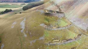
Before the barrow was levelled, it must have stood as an impressive monument in this magnificent landscape. It is the only rectilinear barrow to have been excavated south of the Firth of Forth.
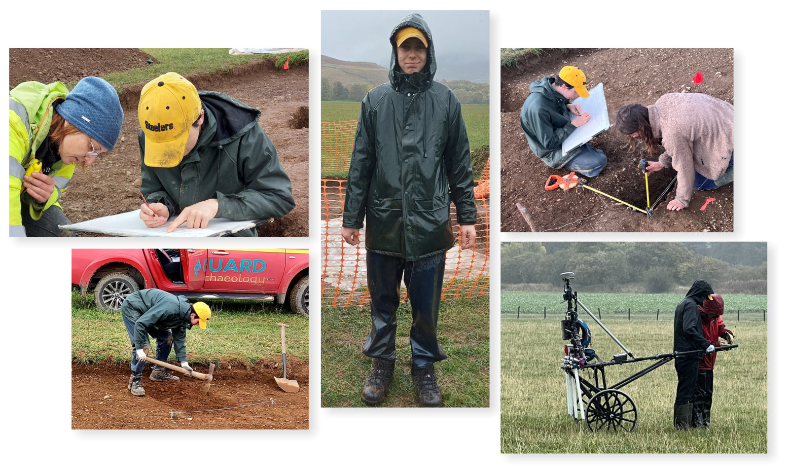
Charlie is the only volunteer to have worked with us every day, for the full day since we started this series of digs back at Tinnis! It was his last day today… He has been a valuable member of the team and we will miss him during the final week when he has a Modern Studies test (good luck Charlie!) before applying for entry to Aberdeen University to study for a degree in archaeology.
He has taken to this very practical experience of archaeology like a duck to water with a natural aptitude and likeable character which will promise him well for the future!
POSTSCRIPT:
Volunteers on the dig had wondered why one of the graves was considerably larger than the other.
Over the weekend, Robin researched the parish records and discovered that a barrow had been levelled in the 1790’s, as part of the agricultural improvements to increase the land for ploughing and “stonecoffins containing human remains were discovered. One of the bodies was of gigantic size and had gold bracelets round its arms”.
There is also a reference to “a ring of gold of considerable weight” found somewhere in the area which “was dug up by a farmer… He sold it to a goldsmith in Glasgow and the price enabled him to pay at least a year’s rent of his farm”.
Perhaps the gold bracelets suffered the same fate?